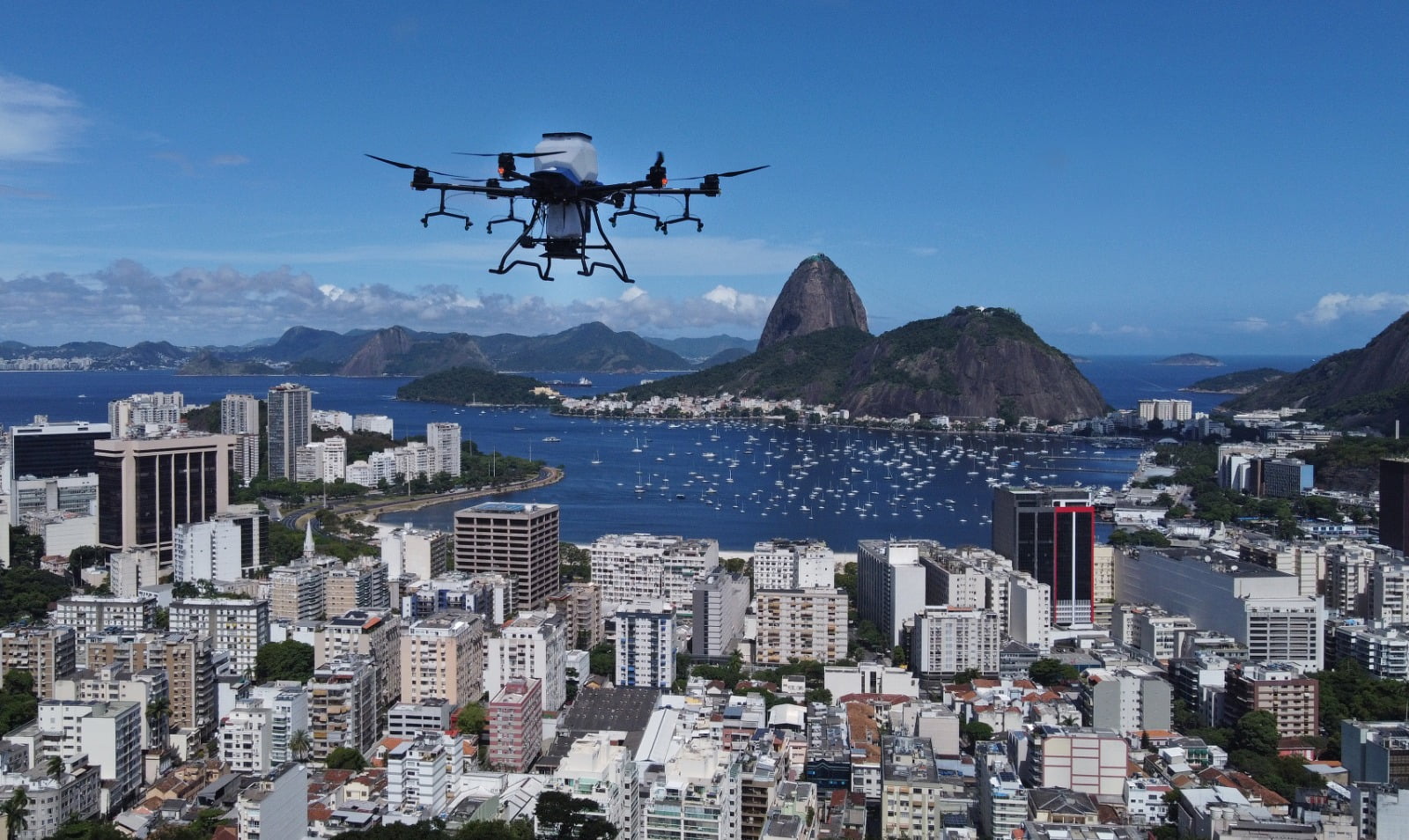
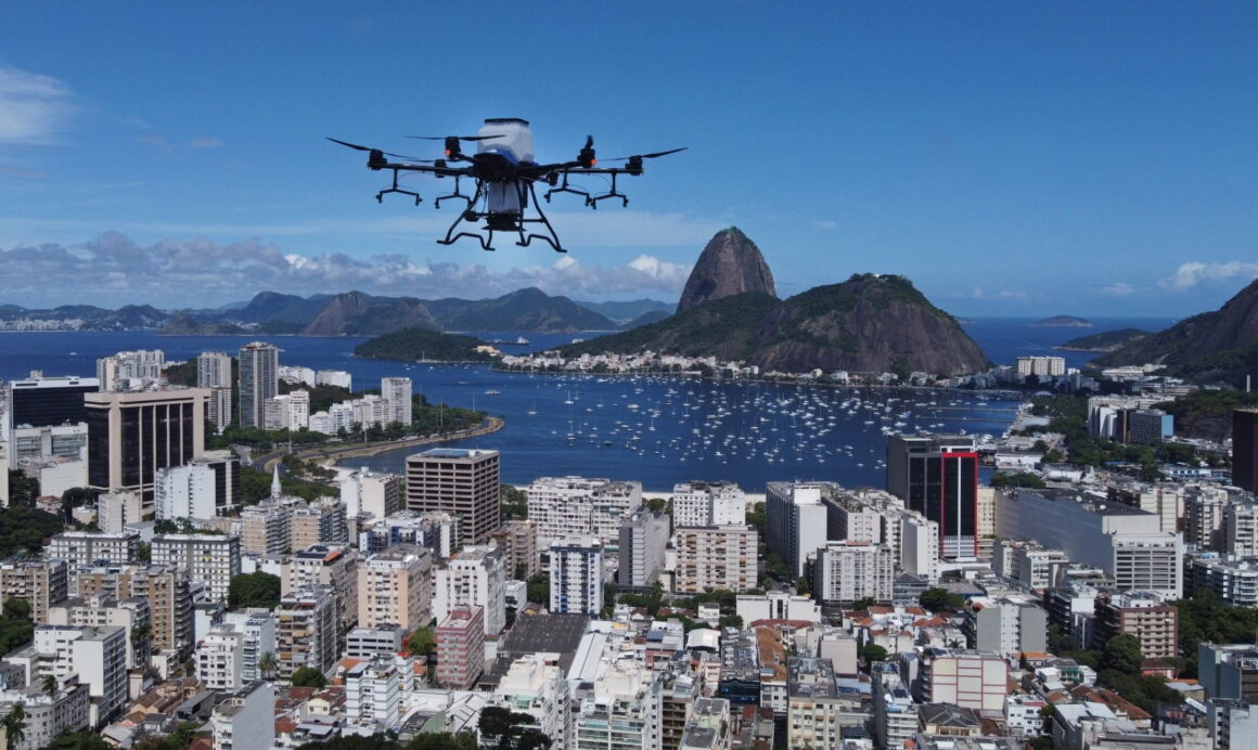
Rio de Janeiro’s Environment and Climate Secretariat, led by Mayor Eduardo Paes and Secretary Tainá de Paula, began using seed-distributing drones for reforestation on Friday, 5th. The inaugural demonstration took place at Mirante do Pedrão, Botafogo, within Parque Maciço da Preguiça. This initiative is part of the city’s contingency plan to mitigate the effects of heat waves.
The project’s pilot phase is set in Serra da Posse, Campo Grande, employing drones to plant local native species. This technology, provided by the Franco-Brazilian startup Morfo, enhances the reach of reforestation efforts, especially in hard-to-access areas.
Morfo collaborates with Refloresta Rio, the city’s reforestation program, offering operational and speed enhancements. A two-person team with a drone can replant areas 100 times faster than traditional methods. This approach also reduces costs and increases biodiversity, allowing the use of at least 20 native species.
The reforestation process involves more than just seed dispersal. It includes constant, transparent monitoring of reforested areas through a customized dashboard, utilizing satellite and drone imagery for ongoing management and data analysis. This system tracks vegetal cover, biodiversity, and carbon stock in the reforested zones.
The process begins with soil analysis using satellite and drone imagery, followed by laboratory tests to determine the soil’s composition. Based on these results, a minimum of 20 native species suitable for the soil are selected. This selection, including testing for germination rates and necessary substances for growth, is also conducted in the lab.
Artificial intelligence then devises a planting plan, determining which seeds to plant, their companions, proportions, and necessary quantities. This “intelligent planting” system is executed by a drone, capable of dispersing 180 capsules and seeds per minute, significantly outpacing traditional methods.
The final stage is the ongoing monitoring of the reforested areas, using AI-assisted satellite and drone imagery to evaluate vegetal cover and biodiversity changes. This analysis also helps identify unforeseen issues, like adverse weather or invasive species. All data is accessible to the Environment and Climate Secretariat for oversight.


